


The situation of forest fires in the North, especially in Chiang Mai was a crisis continuously for several days and causing widespread damage. It affected the entire forest area, animals and soil, and natural resources were destroyed. Besides, it also caused toxic dust and smoke. As a result, it caused severe air pollution that harmed health.
“Fire Cat Team,” Maejo’s volunteer spirit, led by Ajarn Jakkaphong Chaiwong, a lecturer of soil science of the Faculty of Agricultural Production at Maejo University was working jointly with the Disaster Volunteers in the North to support various missions of various organizations to mitigate disasters. The work had been planned for more than 2 months and the team joined various operations in mid-March 2020. Mr. Chakrapong Chaiwong said, “My student team and I volunteer to work in many missions. First of all, we are volunteers for relieving disasters in the North (Center for Dust Smoke, Chiang Mai Province). In our team, we have motorcycle groups, flying umbrellas, ATVs, drones, etc. that can support various missions of various organizations to relieve disasters such as forest fires and fires. At the present, the forest fires have caused haze in which drones or small unmanned aircraft can fly into the target position and report to the provincial command center to contact and coordinate with relevant organizations such as the Forest Fire Control Unit of the Department of National Park, Wildlife and Plant Conservation, Municipal Fire Brigade Units, villages, etc. in the area to go to work or to extinguish and control the fires. Sometimes, we are requested via Line Group and we have several representatives to coordinate with Chiang Mai Province and I am one of them. I use drones which are also used already for my teaching and conducting research studies.
The second part of our missions is to work jointly with the Army, the Third Army Area Command (Kawila Camp) to explore the dry, the fog, and the fire areas of Chiang Mai by a 4-seat aircraft, or CESSNA 172/T 41 or MESCALERO which is a 4-seat small training aircraft with a flight range of 700 km, height 16,500 feet and can fly up for 4 hours. It can go to the problem area quickly (see link https://www.chiangmainews.co.th/page/archives/1286980 of the Army). The flight is under the supervision of Major General Jiradet Klomphet, Deputy General of the Third Army Area Command for aerial photography taken by a multispectral camera (RGN Red + Green + Near Infrared). With this camera, we can analyze images for the normalized difference vegetation index (NDVI) to assess the fertility of plants. In this case, it is used to assess the forest, the agricultural areas along the Ping River which are associated with the drought. The data will be used as a database for water management for agriculture in the areas. We also have such a camera for conducting research studies, teaching, and learning. Apart from this, we also work with the Research and Development Center of the Department of National Park, Wildlife and Plant Conservation in Chiang Mai Province.


Related Posts
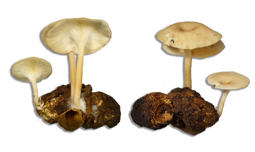
MJU and CU research team discovers the newest type of mushroom of the world named “Apsorn mushroom” that can be cultured and is preparing to develop it into an economic mushroom
A research team from Maejo University and Chiang Mai University discovered the newest type of mushroom in the world. It is in the Pleurotus genus (a genus used to call “the fairy mushroom or Pleurotus pulmonarius). The team has jointly studied its morphology and basic DNA information to indicate the…

Faculty of Science, Maejo University, Maejo University, organized the “Children Love the World, Reduce Waste to Zero” project.
On Friday, January 31, 2025, at the Faculty of Science, Maejo University, Asst. Prof. Dr. Saenwasan Yodkham, Assistant President of Maejo University, presided over the opening ceremony of the "Kids Love the World, Zero Waste" project, organized by the Master of Science Program in Environmental Technology, Faculty of Science, Maejo…
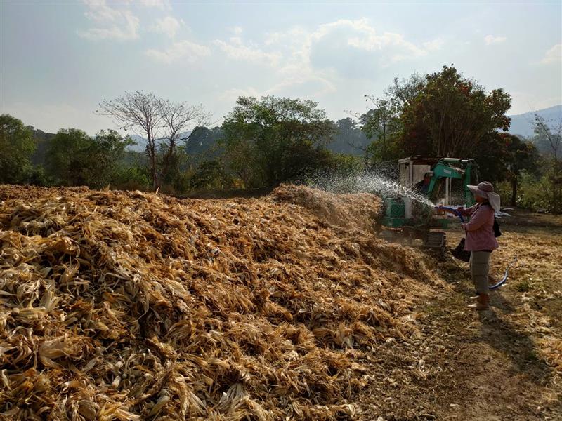
Faculty of Engineering, Maejo University, piloting “Reduce Burning, Reduce Smoke, Fertilizer Powder on the Mountain” highlighting the innovation of compost, not turning over the pile. Manage animal feed corn scraps left over from harvesting in high areas, reduce burning, and reduce PM2.5 dust.
Faculty of Engineering and Agricultural Industry Maejo University, led by Professor Dr. Saenwasan Yodkham, Deputy Dean for Student Development and Special Affairs, and Assistant Professor Dr. Chanawat Nitatwichit. Lecturer in the Faculty of Engineering and Agro-Industry Together with the Bo Kaeo Lua Chu Ni Community Enterprise Group, Bo Kaeo Subdistrict,…